Spatial Dynamics
We use spatial modeling and data science to understand how marine species and ecosystems change across space and time.
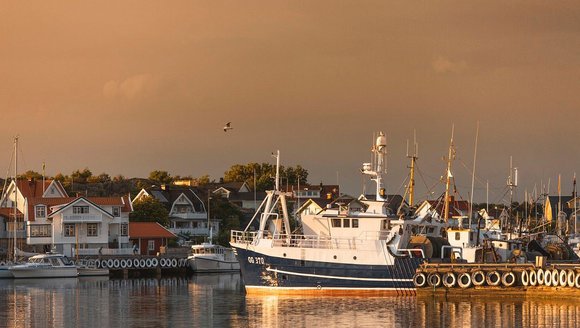
Ocean conditions, species distributions, and fisheries are shifting rapidly in response to climate change. Our lab develops models and decision-support tools that help scientists, managers, and fishing communities understand where species are, how they are moving, and what those changes mean for sustainable fisheries and ocean planning. By combining ecological data, fisheries observations, and advanced spatial modeling approaches, the lab translates complex dynamics into insights that support management, conservation, and working waterfronts in the Gulf of Maine and beyond.
We aim to:
-
Understand how marine species distributions and ecosystems change across space and time.
-
Develop spatial models that inform sustainable fisheries management and ecosystem-based decision-making.
-
Translate complex ecological and fisheries data into accessible tools and insights for managers and industry.
-
Support climate-ready fisheries by identifying shifts in species, habitats, and fishing opportunities.
-
Collaborate across disciplines to connect ecological modeling with real-world management and community needs.
Lab Team
Our Methods
Using spatial data and modeling to understand dynamic ocean systems.
The Spatial Dynamics Lab combines ecological theory, fisheries science, and advanced statistical modeling to understand how species and ecosystems change across space and time. The lab develops spatially explicit models that integrate survey data, fisheries observations, environmental conditions, and emerging data streams. These approaches allow researchers and partners to explore how climate change, fishing activity, and management decisions influence marine ecosystems and the communities that depend on them.
-
Spatial Statistical Modeling
-
Species Distribution and Habitat Modeling
-
Data Integration
-
Geospatial Analysis
Using spatial data and modeling to understand dynamic ocean systems.
The Spatial Dynamics Lab combines ecological theory, fisheries science, and advanced statistical modeling to understand how species and ecosystems change across space and time. The lab develops spatially explicit models that integrate survey data, fisheries observations, environmental conditions, and emerging data streams. These approaches allow researchers and partners to explore how climate change, fishing activity, and management decisions influence marine ecosystems and the communities that depend on them.
- Spatial Statistical Modeling
- Species Distribution and Habitat Modeling
- Data Integration
- Geospatial Analysis
Research Lab Projects
-
![Climate Adaptation Strategies for Northeast U.S. Fishing Communities]()
Climate Adaptation Strategies for Northeast U.S. Fishing Communities
We are leading several interdisciplinary projects to provide community-scale information that can be used to guide adaptation and planning for future ecosystem and fishery changes. …
-
![Crossing Boundaries: Understanding and Projecting Species Distribution Shifts in U. S. and Canadian Waters]()
Crossing Boundaries: Understanding and Projecting Species Distribution Shifts in U. S. and Canadian Waters
Species distribution shifts are widely observed as ocean waters warm, affecting ecosystem dynamics and fishery management processes. We will develop models that operate across U.S. …
-
![Using Satellite Data to Support Sustainable Fisheries]()
Using Satellite Data to Support Sustainable Fisheries
We are working to develop a Fisheries and Climate Toolkit (FaCeT) to track and forecast fisheries-relevant physical and biological ocean features that will inform dynamic …
-
![Ecosystem Impacts of Warming]()
Ecosystem Impacts of Warming
The northwest Atlantic is much warmer than it was a decade ago. This project documents how plankton and fish communities have changed and uses computer …


-
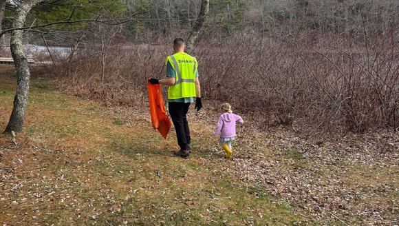
Starting a Climate Committee: A Personal Guide
In 2024, while living in Woolwich, Dave Berndtson launched the town’s first climate resilience committee. He’s now a resident of Arrowsic (and a member of …
Perspectives
-
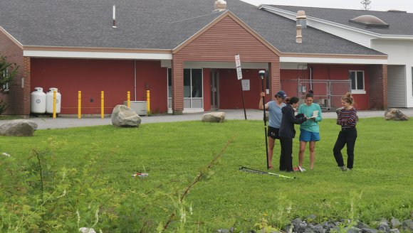
What does climate readiness look like for Maine’s towns?
Climate readiness looks different in every community, with each facing its own unique risks, priorities, and visions for the future. Through sustained relationships, place-based data, …
Perspectives
-
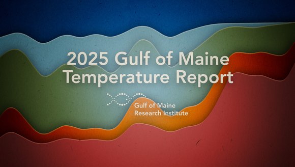
2025 Gulf of Maine Temperature Report
Over the past decade, our scientists have led a body of research that highlights temperatures in the Gulf of Maine. To keep you informed, we …
Reports
-
Atlantic Meridional Overturning Circulation (AMOC) 101
This 101 explainer breaks down what the AMOC is, how it influences climate, what scientists are observing now, and what a changing AMOC could mean …
Explainers