Remote Sensing Overview & Applications

4 PM–5 PM | Online | Private

Come for an overview of remote sensing and some of its research applications. Brainstorm ideas for implementation with other educators.

Remote Sensing Overview & Applications

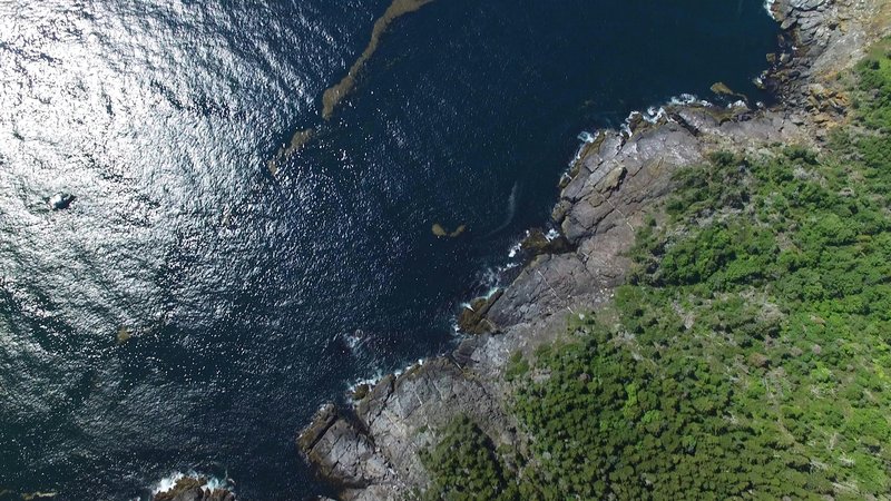
Join folks within the Learning Ecosystems Northeast network to learn more about remote sensing and its application in scientific research.


GMRI's very own Dr. Jerome Pinti will kick us off with an overview of remote sensing and talk about how he uses it in his research. We will then hear from NASA scientist, Dr. Laura Bourgeau-Chavez about how she uses remote sensing in her work investigating vernal pools and wetland health.


There will be ample time for questions for each scientist as well as time to connect with educators and other learning experience designers around how one might apply this work in various learning environments. A $75 stipend is available for participating in this session.


More about our presenters:
Dr. Jérôme Pinti joined GMRI in October 2024 to lead the Biological Oceanography lab. Jérôme is a marine ecologist and biological oceanographer, and his research focuses on how bio-physical environmental conditions impact the behavior, movement, and population dynamics of marine animals -- from zooplankton to large sharks and whales. In his research, Jérôme uses a wide array of research methods, including remote sensing that he correlates with in situ data to get a better understanding of the habitat preferences of marine organisms.


Dr. Bourgeau-Chavez is a chief research scientist at Michigan Tech Research Institute, an institute of the Michigan Technological University. She is a landscape ecologist and remote sensing expert, focused on taking measurements on the ground and connecting them to “remote sensing” imagery, which can be from an aircraft, satellite or a drone. She specializes in using imaging radars, which are very long wavelengths capable of penetrating vegetation canopies and detecting soil moisture or standing water beneath the canopy. This allows for detecting ponds beneath a canopy (e.g. vernal pools) or inundated wetlands and more.

MON
APR
06
2026