Ocean Observing in the Northeast (NERACOOS)
Collecting and analyzing real-time ocean and weather data to forecast ocean conditions.
Ocean observing systems are networks of people and technology designed to collect ocean and weather data and forecast ocean conditions. These networks consist of platforms (e.g. buoys, shore stations, ships) outfitted with sensors that collect data which is then transmitted to back to us. Our region's network is led by NERACOOS, the Northeastern Regional Association for Coastal and Ocean Observing. Since the early 2000s, the Ocean Data Products team at GMRI has led the data management and cyberinfrastructure (DMAC) efforts for ocean observing in the Northeast region as a key partner in NERACOOS. This role includes development and maintenance of the back-end data management system, integration of buoy and sensor data in near-real time, and the development of data access tools for stakeholders.
Project Goals:
- Sustain development and maintenance of the NERACOOS data management system.
- Create new, accessible data products for stakeholders.
- Collaborate with other regional associations in national data management efforts.
The Northeastern Regional Association of Coastal Ocean Observing Systems (NERACOOS) is a nonprofit organization focused on ocean observation activities for a region spanning from the coastal waters from the Canadian Maritime Provinces to the New York Bight. NERACOOS supports a network of people and technology to provide near real-time ocean and weather data, as well as informational and forecasting tools to help stakeholders understand current and future conditions in the region.
One of eleven regional associations under NOAA's national Integrated Ocean Observing System (IOOS) program, NERACOOS advances many observation and scientific efforts in our region. The information and data collected through NERACOOS helps to improve understanding of ocean acidification and harmful algal blooms, regional biodiversity, and coastal flooding risks. It also serves to improve water quality monitoring procedures.
As the Data Management and Cyberinfrastructure (DMAC) team, the GMRI Ocean Data Products crew functions as the data arm for NERACOOS efforts, which includes working closely with data providers to ensure the data complies with appropriate data formats, and ensuring data and quality control standards and protocols. The NERACOOS data management system is certified as a Regional Information Coordination Entity by IOOS — meaning the data collected and distributed by NERACOOS are managed according to the best practices as identified by NOAA.
As a result, the data managed and curated through NERACOOS are interoperable and aggregated in region-wide products.
Mariners' Dashboard
The NERACOOS Mariners' Dashboard displays high-quality, timely data from a growing network of buoys and sensors throughout the Gulf of Maine. Dashboard users will be able to find data about current wave and wind condition datas, regional forecasts, and more.
Our Partners
Read Next
-
Starting a Climate Committee: A Personal Guide
In 2024, while living in Woolwich, Dave Berndtson launched the town’s first climate resilience committee. He’s now a resident of Arrowsic (and a member of …
Perspectives
-
What does climate readiness look like for Maine’s towns?
Climate readiness looks different in every community, with each facing its own unique risks, priorities, and visions for the future. Through sustained relationships, place-based data, …
Perspectives
-
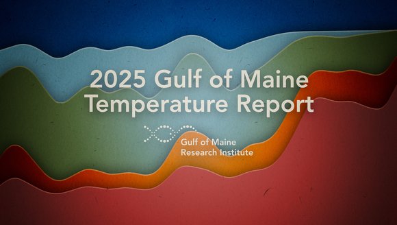
2025 Gulf of Maine Temperature Report
Over the past decade, our scientists have led a body of research that highlights temperatures in the Gulf of Maine. To keep you informed, we …
Reports
-
Atlantic Meridional Overturning Circulation (AMOC) 101
This 101 explainer breaks down what the AMOC is, how it influences climate, what scientists are observing now, and what a changing AMOC could mean …
Explainers