Coastal Flooding Meetups
Harnessing the power of communities.
As a coastal community, we need to understand the increasing impacts of flooding from sea level rise and coastal storms. That’s where you come in! We invite you to join experts from the Gulf of Maine Research Institute and your municipality to learn about sea level rise and contribute your own observational data.
Our goals:
- Collect data to reveal the weather and water level conditions that are associated with localized coastal flooding.
- Collect public opinion on concern and impacts of flooding.
- Raise awareness of local flooding impacts.
Who can participate?
Anyone can take photos and upload their data online.
What data am I collecting?
Make observations of coastal flooding in your community by taking photos and answering questions about the conditions.
When can I participate?
Observations can be made year-round during high tides and coastal storms. Look for upcoming coastal flooding meetups below to join others from your community.
Where can I participate?
Make observations at a coastal flood monitoring site in a participating town on the coast of Maine or at any place that is of importance to you or your community. Join others at events below to participate as a group.
Why should I participate?
The collection of data is important in understanding how weather and sea level rise contribute to coastal flooding, erosion, and damage to the shores and coastal infrastructure of a community. By participating, you are contributing valuable data to build a more resilient coastal community.
-
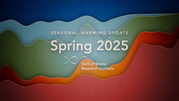
![Gulf of Maine Warming Update: Spring 2025]()
Gulf of Maine Warming Update: Spring 2025
Read on for an inside look at what we've learned in our spring 2025 Gulf of Maine warming update.
Reports
-
![Marine Heatwaves 101]()
Marine Heatwaves 101
Learn about what marine heatwaves are and how they can disrupt coastal ecosystems and the communities that depend on them.
Perspectives
-
![20 Years on the Waterfront: Reflecting & Looking Ahead]()
20 Years on the Waterfront: Reflecting & Looking Ahead
Celebrating our collective journey toward a thriving future
Perspectives
-
![The Impact of Learning Ecosystems Northeast]()
The Impact of Learning Ecosystems Northeast
Learning Ecosystems Northeast (LENE) is a NASA-funded collaborative partnership with the Gulf of Maine Research Institute (GMRI), 4-H, Maine State Libraries, Wabanaki Youth in Science, …
Perspectives